The Field’s Earlier Drafts: Archaeology Before Construction at Bubney
A solar farm is often described as a temporary visitor to the landscape. For thirty years or so, rows of panels occupy fields that have been ploughed, grazed or left fallow for generations. Yet the ground beneath those rows has its own longer record, written in hedgebanks, trackways, ditches and the occasional scatter of worked flint. Before construction begins at Bubney, that record has to be read carefully. The first serious work on site is not civil engineering but investigation.
In 2026, the archaeology that precedes a solar farm is not an afterthought bolted onto planning. It is part of the consenting process, shaped by national planning policy, local historic environment records and the judgement of the county archaeological curator. The aim is not to turn every field into a research excavation. It is to understand what is there, avoid damage where possible, and record what cannot be preserved. For a project that will borrow the land for three decades, that seems a reasonable starting point.
Reading the record before opening the ground
The process begins at a desk. A historic environment record search draws together known finds, scheduled monuments, previous excavations and stray discoveries within the vicinity. Historic maps are stacked against modern survey data: tithe maps, enclosure awards, estate plans, aerial photographs and, increasingly, LiDAR, which can reveal earthworks beneath woodland or pasture that the eye alone might miss.
This desk-based assessment is not a box-ticking exercise. It tells the project team where the ground is likely to be sensitive and where it is probably already disturbed. It also informs the written scheme of investigation, the document that sets out what survey work will be done, how it will be done and who will sign it off. The county archaeologist is involved at this stage, not as an adversary but as the person who must be satisfied that the approach is proportionate.
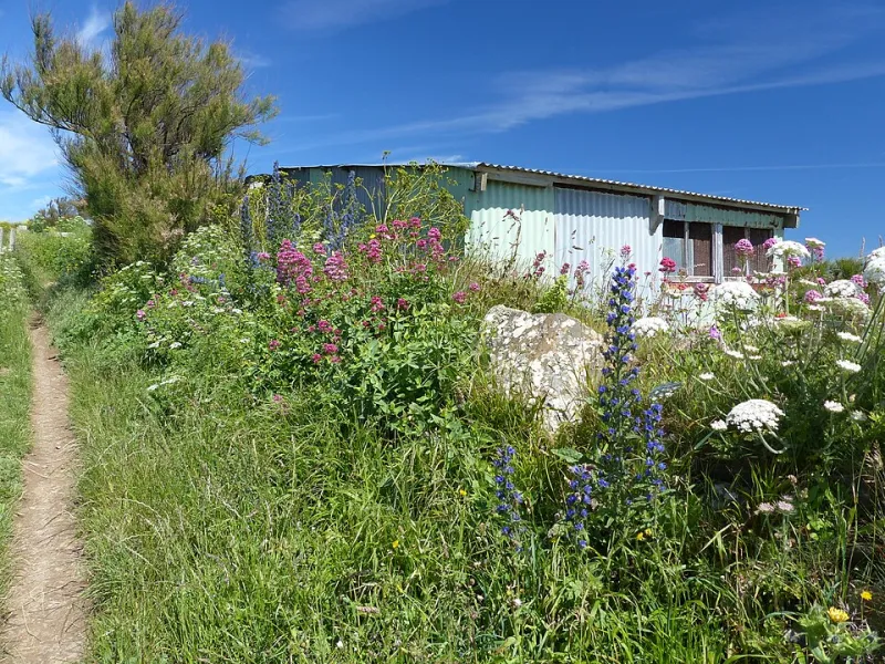
At Bubney, that means understanding the field pattern before it is altered by cable routes, access tracks, inverter stations and mounting piles. Hedgerows matter here. So do old field boundaries, trackways and areas of ridge and furrow. Not all archaeology is buried. Some of it is standing in the hedge line or legible in the lie of the land.
Walking, scanning and sampling
Fieldwalking comes next in many schemes. Archaeologists walk the field in controlled lines, collecting artefacts from the surface and recording where they were found. It is slow, weather-dependent work, and its results can be ambiguous. A scatter of pottery may indicate a settlement, or it may indicate nothing more than centuries of manuring. The point is to build a picture, not to jump to conclusions.
Geophysical survey follows. Magnetometry is common on arable land because it can detect ditches, pits and hearths through subtle variations in the soil’s magnetic field. The results are plotted as anomalies, some clearly archaeological, some geological, some caused by modern field drains or old metal debris. The survey is a map of possibilities, not a guarantee. It tells the team where to look more closely.
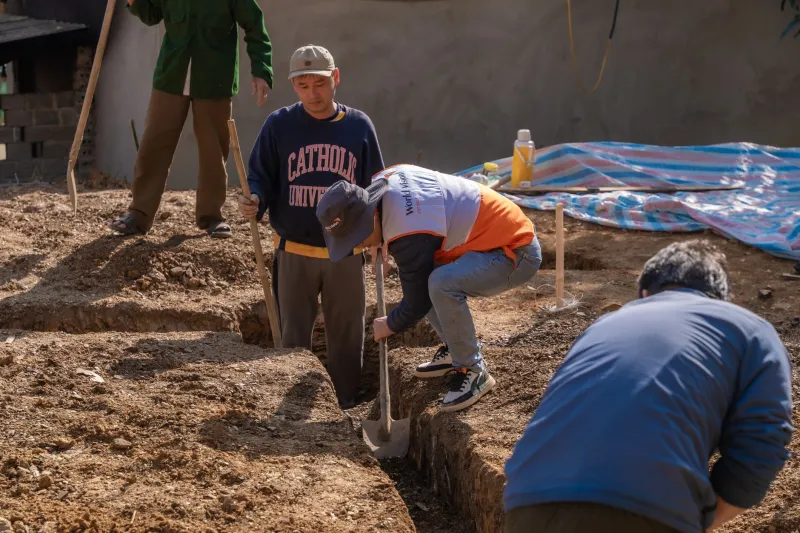
Trial trenching is the part that most people picture. A sample of trenches, usually around two metres wide, is opened across the field by machine under archaeological supervision. The topsoil is removed, the subsoil examined, and any features recorded. If the trenches reveal ditches, postholes, pits or buried soils, the archaeologist has to decide whether the layout can avoid them, whether they can be preserved in situ, or whether they need to be excavated and recorded before construction.
When a find interrupts the programme
A solar farm has one practical advantage over many forms of development: its layout is flexible. Rows can be shifted. Inverter cabinets can be relocated. Cable routes can be micro-routed around a sensitive area. Where a find is significant but not threatened, preservation in situ is often the best outcome. The archaeology stays in the ground, and the project works around it.
Where that is not possible, excavation and recording take place. This is not a free-for-all. It is governed by the written scheme of investigation, the planning condition and the archaeological curator’s judgement. A find may pause work in one area while the team assesses its extent and significance. That can affect a construction programme, but it is better to discover a ditch line before the cable trench is dug than after.
The mitigation hierarchy is simple in principle: avoid, minimise, record. In practice, it requires close communication between the archaeologist, the principal contractor and the project manager. A watching brief may be required during groundworks in areas where the risk is lower but not absent. The archaeologist then observes the excavation and records anything that appears. It is a pragmatic compromise between blanket excavation and no scrutiny at all.
What a solar farm owes the older history
A thirty-year lease is not a long time in archaeological terms, but construction still disturbs ground. Piles are driven, trenches are cut, tracks are laid. The record made before and during those works becomes part of the county historic environment record. It should be deposited in a suitable archive, reported and, where appropriate, published. That is the formal debt.
There is also a less formal one. A solar farm that expects to be seen as a good neighbour should be willing to explain what it found and how it protected what mattered. That might mean a display at a community event, a short plain-English report, or a note in the parish newsletter. It does not require turning the site into a visitor attraction. It does require treating the land’s earlier history as more than an obstacle to the programme.
At Bubney, the archaeology before construction is best understood as a form of reading. The field has been written over many times: by prehistoric clearance, medieval ploughing, enclosure, twentieth-century drainage and now by the survey grid of a renewable energy project. The solar farm will add its own layer. The least it can do is read the earlier drafts with care before it does so.